Close Search
Climate Change Photography
Menu
  • Home
  • Beach
  • The Beetles
  • Permafrost
  • Fire
  • About
  • Art Photos
    • About Our Photos
    • Installations
    • Media
    • Pricing
  • More
    • Why Nonprofit Charity?
    • Use of Images
    • Privacy Policy Page
    • Contact

Padre Island Flats

  • March 23, 2020

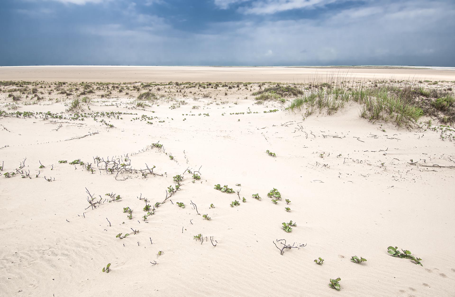
The Padre Island Flats, 25 miles beyond end of pavement on the four-wheel drive only wilderness beach, 2015. At mile 25 there is a single giant sand dune that rises twice as high as the rest for miles. It’s a favorite camping spot and a half mile inland across the back island salt grass the flats begin. Just inches above sea level the flats border the Laguna Madre, a 115 mile-long bay between 2 and 7 miles wide that parallels Padre Island. Historically the flats are caused by hurricane overwash and the persistent winds that drive sand farther and farther inland from the beach. The flats are up to two miles wide depending on the tide, or once dependent upon the tides. The flats are covered by water much of the time these days, and will be completely gone in a matter of years.

  • Previous Project
  • Next Project
Share Share Share Pin

Climate Change Photography


Nonprofit, High Resolution, Large Format, Art Photography
Abrupt Earth Systems Tipping Collapses Happening Now
Climate Change Now Initiative, 501c3
Austin, Texas

ClimateDiscovery.org        Contact       About       Nonprofit Charity

© 2026 Climate Change Photography.

Close Menu
  • Home
  • Beach
  • The Beetles
  • Permafrost
  • Fire
  • About
  • Art Photos
    • About Our Photos
    • Installations
    • Media
    • Pricing
  • More
    • Why Nonprofit Charity?
    • Use of Images
    • Privacy Policy Page
    • Contact